Case Study:
GIS, Survey, and Paper - Oh My! Comprehensive Land Solutions
CHALLENGE
One utility's real estate department faced challenges managing extensive data related to their planning and management operations. They needed a comprehensive tool to display various layers of critical information, including but not limited to: easements, permits, leases, utility-owned infrastructure, competing infrastructure, environmental hazards, imagery, links to critical documents, and reliable cadastral data with property ownership. Existing systems were disjointed, and all working files and records were kept in paper format, requiring multiple platforms and manual processes to gather and interpret data, leading to inefficiencies, errors, and delays. The department had plans to start capturing legacy records in a newly deployed document management system but had not yet started. They also desired the ability to interface with SAP for enterprise resource planning and project tracking to create a cohesive enterprise workflow. The lack of an integrated solution caused significant operational bottlenecks, hindering the department's ability to manage real estate assets effectively and affecting downstream operations such as design and construction. Locating real estate rights and accessing survey information remained arduous. Additionally, land specialists struggled to decipher asset ownership and land rights without conducting extensive research. Inefficient data management impeded the utility’s responsiveness to easement inquiries, and it was near impossible to identify where facilities resided within the recorded legal descriptions unless a site survey was conducted.
SOLUTION
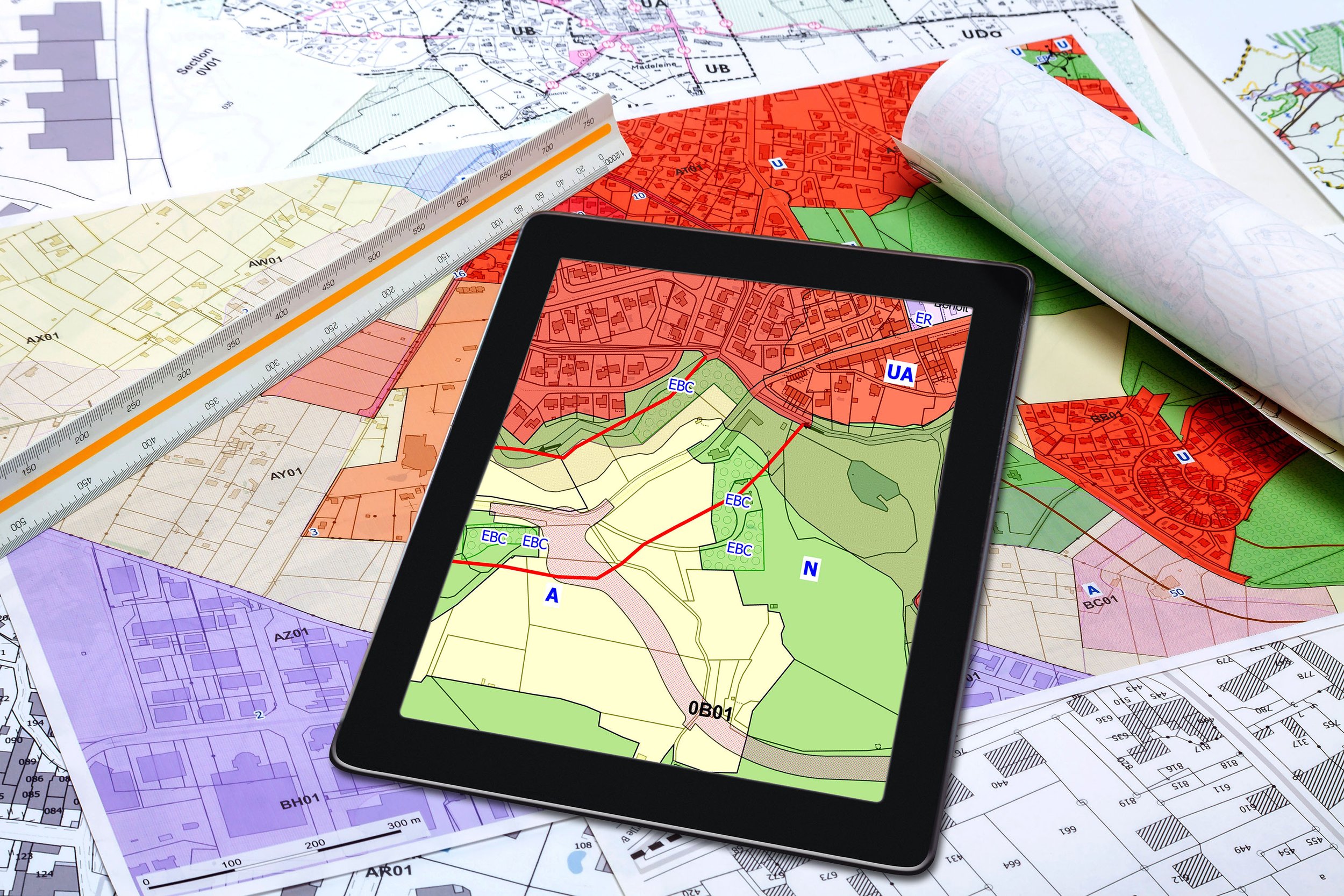
To address these challenges, our staff designed a custom GIS web viewer and developed and integrated various data layers into a single, accessible interface, providing access to other departments to ensure enterprise continuity. Standards coinciding with future needs and other business operations were developed prior to the document conversion process for improved data migration and eventual integration with the document management system. This step eventually enabled users to locate and retrieve historical right-of-way documents as well as current project information upon clicking an asset within their GIS application, reducing search time and improving data reliability. The solution was also interfaced with SAP, allowing data synchronization and information access across systems, enhancing overall data integrity and workflow efficiency. User-friendly features ensured easy navigation and utilization without extensive change management or user training.
To further enhance the reliability of easement data within the GIS, our staff collaborated with the utility and local engineering firms on a pilot project to convert all above and below ground transmission easements to survey-grade geospatial data. The team scrutinized document accuracy, identifying data gaps before digitization. It was elected to use cost-effective field control capturing methods throughout the project area by local surveyors, and the inputs were managed using Esri’s GIS Parcel Fabric solution. As a result, the utility’s above ground electric transmission system and underground gas pipeline easements were accurately captured and displayed in the GIS users could also determine easement boundaries in relation to the as-built facility placement, enabling instant and reliable decision making. Our team facilitated the utility's adoption of Parcel Fabric solution for data management, integrating it with master records, other enterprise systems, and the internal web map application.
RESULT
The deployment of the custom Esri web viewer significantly increased operational efficiency by providing rapid access to vital information and streamlined processes. Inquiries that once took days or weeks could now be completed within minutes. The ability to view and analyze multiple data layers in one platform enabled more informed decision-making and quicker responses to real estate inquiries and issues, leading to improved cycle times and metrics. The web viewer's success led to its adoption by other departments, including planning, survey, design, and vegetation management, ultimately achieving enterprise-wide acceptance. The utility's transmission easement data underwent a digital transformation, streamlining decision-making processes and making data interactive and easily accessible. This advancement brought the utility closer to comprehensive data capture across its systems, fostering collaborative access to reliable information for enhanced asset management. Overall, the custom Esri web viewer, reliable easement data, and enterprise integrations, provided a scalable, versatile tool that supported the utility's broader organizational goals, driving improved performance and efficiency across the board.
